Wanderweg
Große Schlicke
Tour details
Location: Grän
Difficulty: Medium
Duration: 2 h 30 m
Length: 5,46 km
Altitude difference (uphill): 404 m
Altitude difference (downhill): 404 m
Highest point: 2059 m
Lowest point: 1773 m
Informationen & Wissenswertes
Short description:
A moderately difficult hike for connoisseurs with wonderful views.
A moderately difficult hike for connoisseurs with wonderful views.
Quality of experience: *****
Recommended season:
- May
- June
- July
- August
- September
- October
Properties:
- Round trip
- Scenic
- Refreshment stops available
- Cableway ascent/descent
- Summit route
Description:
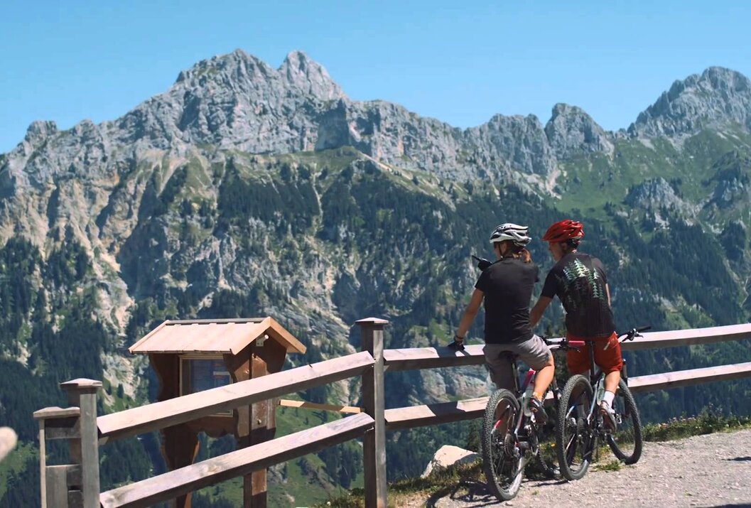
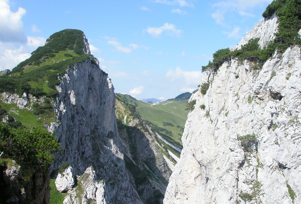
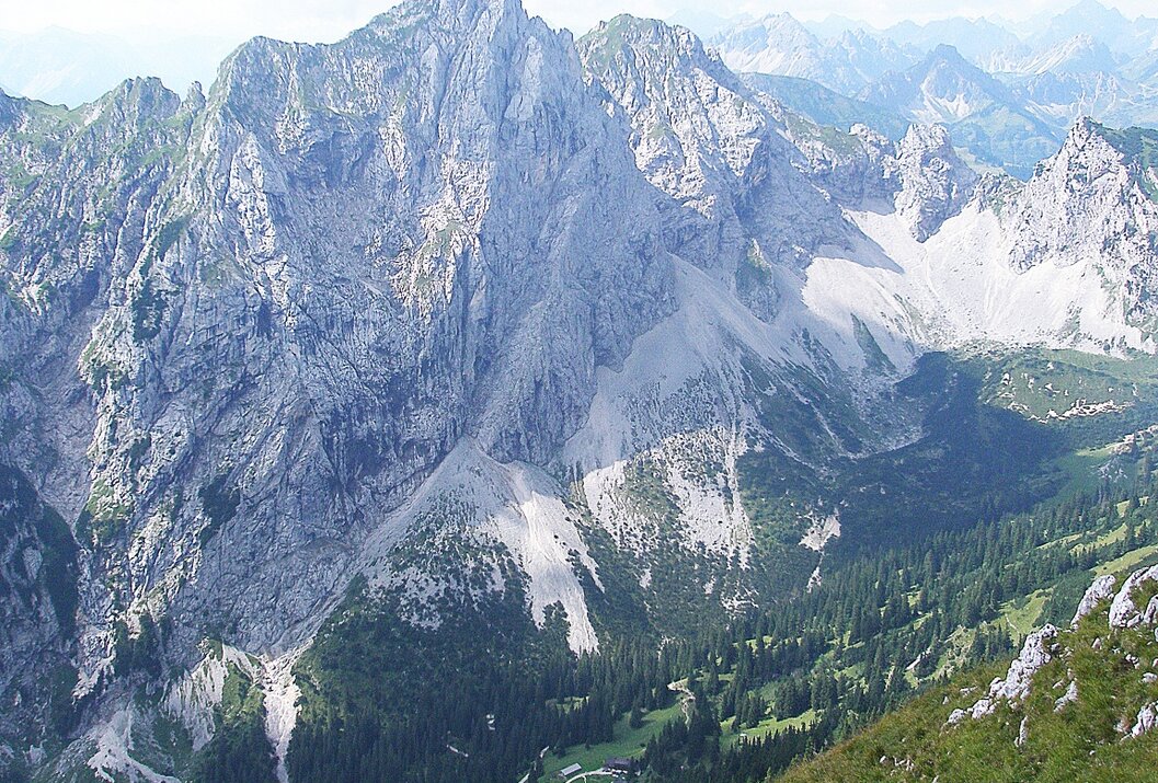
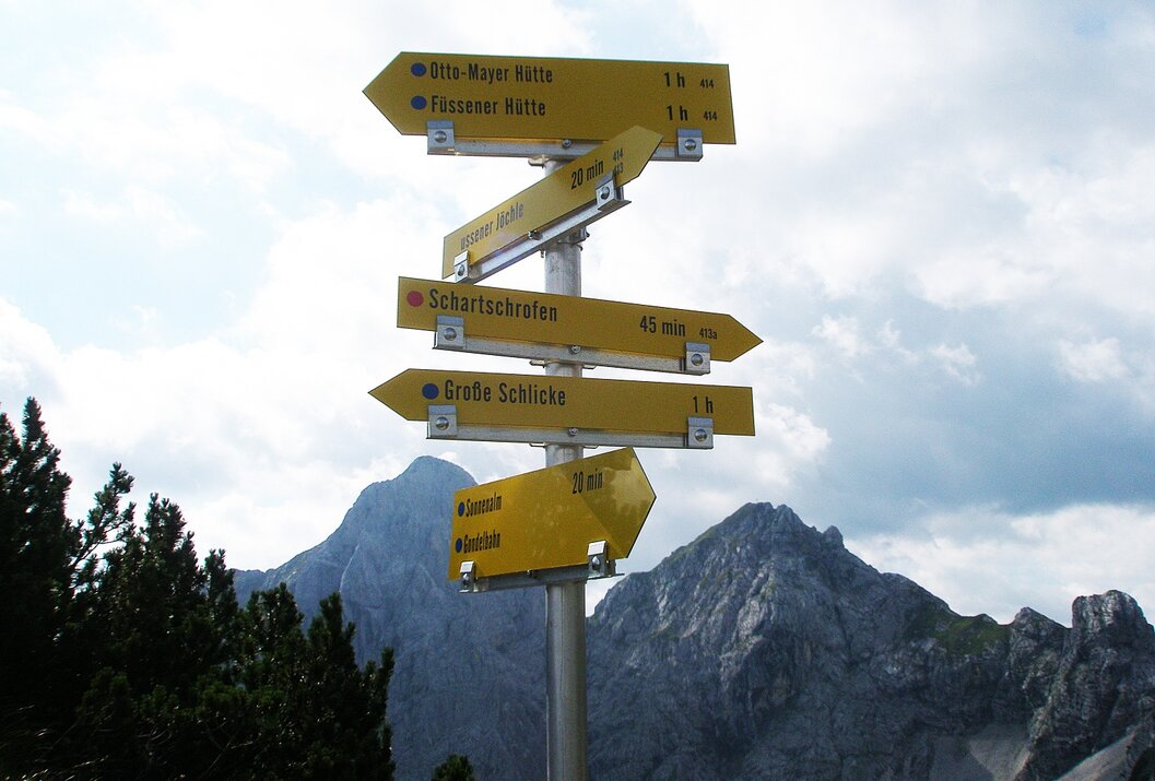
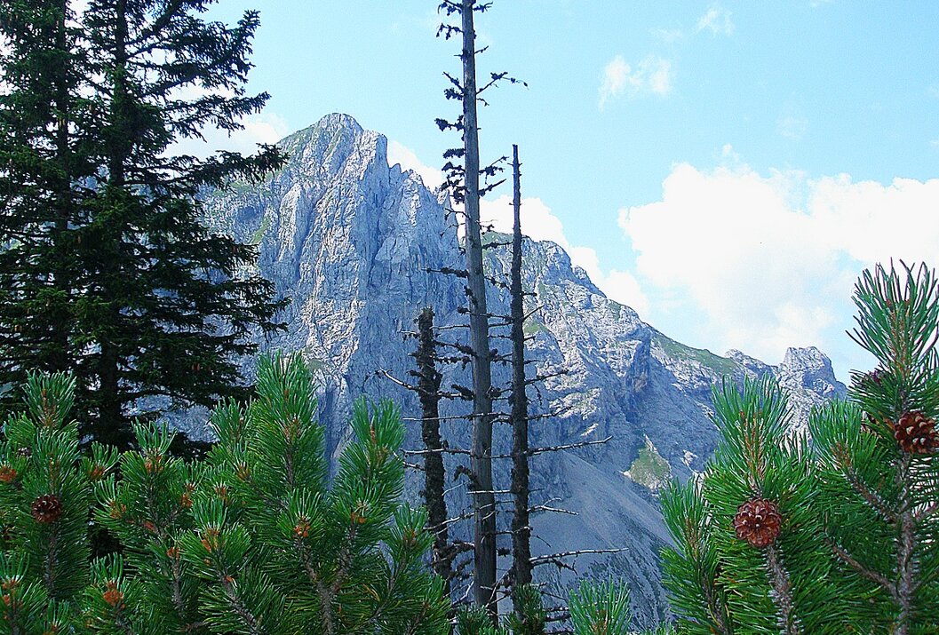
From the top station Füssner Jöchle via the Raintaler Joch and the Vilser Scharte to the Grosse Schlicke. A magnificent view over the Tannheimer Tal and the neighbouring Allgäu rewards the efforts of the ascent.
Directions:
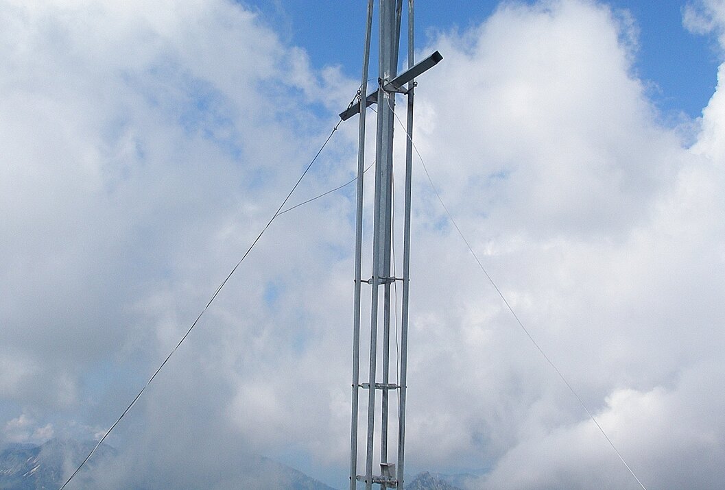
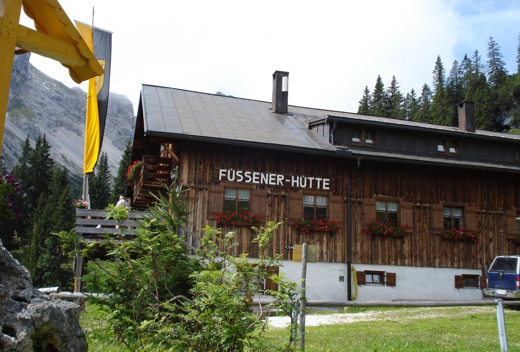
To the right of the valley station of the mountain railway in Grän is the footpath to the Füssener Jöchle. At first moderately, later somewhat steeper, this is how the path goes up. At the top we first enjoy the wonderful view. Our view extends far over the Tannheimer Tal on the one side or the Allgäu on the other side. Towards the east, passing under the Läuferspitze on the left, we continue on the Raintaler Joch. There we follow the signpost to the left. First slightly downhill, passing under the Hahnenkopf and further on to the Vilser Scharte. Then uphill towards Kleine Schlicke and over the grassy mountain flank up to Große Schlicke.At the summit our view wanders around. The view in all directions is really impressive. Even the somewhat modern, steel summit cross is not necessarily expected up here.Afterwards we take the same way back to the Füssener Jöchle and go down to the valley with the cable car. Arrived at the valley station of the Füssener Jöchle cable car, a beautiful day of mountain hiking comes to an end.
Safety guidelines:
General valid and customary rules of conduct.It should be noted that in mountaineering there is an increased risk of accidents and injuries. Despite careful route planning, a basic risk always remains. Tour preparation through endurance sports, appropriate technical training and further education as well as personal prudence reduces the danger of accidents and risks. However, please never forget that the weather in the mountains can change very quickly. Stay on the marked hiking trails
Equipment:
The personal mountaineering equipment must be safe and serviceable and meet the relevant technical standards. Every hiker is recommended to obtain information about the planned tours from specialist alpine literature or on site.
Additional information:
Tourismusverband Tannheimer Tal
Sonnenbergbahnen Grän
Starting point: Mountain station Füssener Jöchle
Destination: Mountain station Füssener Jöchle
Getting there
On the motorway A7 at the exit "Oy-Mittelberg" on the B310 towards Wertach and to Oberjoch. There follow the signposting "Tannheimer Tal" B199, exit Grän, direction Füssener Jöchle Bergbahn.From the Tyrolean side via Reutte on the B198 towards Lechtal to Weißenbach, over the Gaichtpass along the B199 to the exit Grän, direction Füssener Jöchle Bergbahn.
Public Transit
By train to Sonthofen, Pfronten/Ried or Reutte, then by bus to Grän.
Parking
At the valley station of the Füssener Jöchle gondola.
Günstigste Jahreszeit
Spring
Summer
Autumn
Große Schlicke
Informationsbüro Tannheim
Vilsalpseestraße 1
6675 Tannheim
