Wanderweg
Willersalpe-Gaishorn
Tour details
Location: Tannheim
Difficulty: Easy
Duration: 8 h 25 m
Length: 18,06 km
Altitude difference (uphill): 1855 m
Altitude difference (downhill): 1783 m
Highest point: 2244 m
Lowest point: 1094 m
Path covering: Asphalt, Hiking trail
Informationen & Wissenswertes
Short description:
A wonderful tour which does not cause any unsolvable problems, but brings a wonderful scenery with it.
A wonderful tour which does not cause any unsolvable problems, but brings a wonderful scenery with it.
Technique: ***
Quality of experience: ******
Recommended season:
- June
- July
- August
- September
- October
Properties:
- Scenic
- Refreshment stops available
Description:
From Tannheim via the Rossalpe to the beautiful plateau of the Feldalpe. Depending on your wishes, you could either take the short descent to the Älpele or follow the route towards Willersalpe.
Directions:
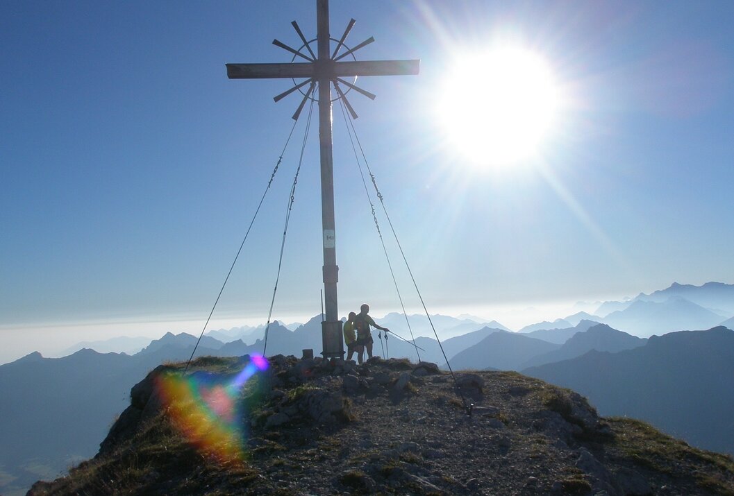
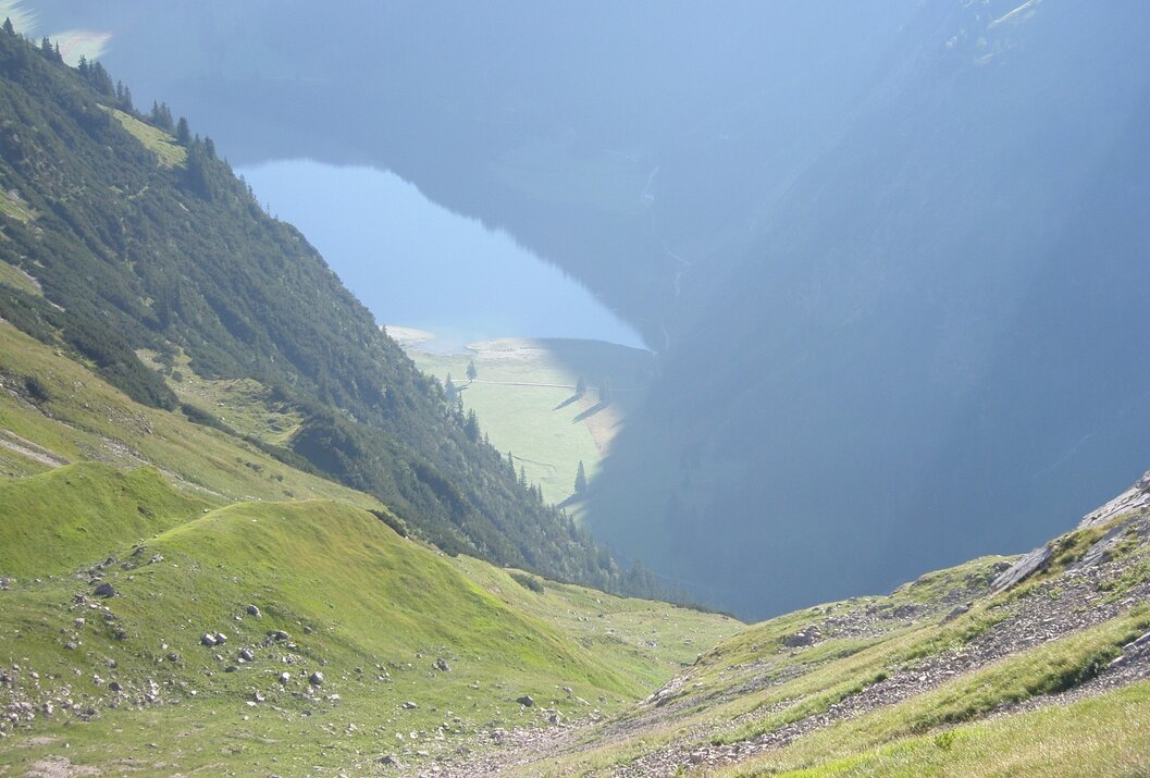
From the west car park in Tannheim, the route heads south-east, past the Sägerklause tennis court towards the grotto. Now follow the signs and continue in the direction of Roßalpe. From the lower Roßalpe the path becomes a bit more demanding. Over the saddle between Schnurschrofen and Geißhorn, the area of the Feldalpe, we reach the Älpele, which invites you to take a break. A short stretch the same way back again, at the fork in the path we turn right and uphill towards Zirleseck. At the top, we can already see the Willersalpe. From the Willersalpe we follow the "Jubiläumsweg" to the Schafwanne. Below the Geißeck, steadily ascending, we reach the summit of the Geißhorn. The descent is northwards, towards Obere Roßalpe and further on to the Vilsalpsee. Those who no longer want to make the last stretch on foot to Tannheim can take the carriage, the bus or the Alpenexpress here.
Tip:
Very nice tour with many viewpoints.
Safety guidelines:
It should be noted that in mountaineering there is an increased risk of accidents and injuries. Despite careful route planning, a basic risk always remains. Tour preparation through endurance sports, appropriate technical training and further education as well as personal prudence reduces the danger of accidents and risks. However, please never forget that the weather in the mountains can change very quickly. Stay on the marked hiking trails.
Equipment:
The personal mountaineering equipment must be safe and serviceable and meet the relevant technical standards. Every hiker is recommended to obtain information about the planned tours from specialist alpine literature or on site.
Additional information:
From Tannheim via the Rossalpe to the beautiful plateau of the Feldalpe. Depending on your wishes, you could either take the short descent to the Älpele or follow the route towards Willersalpe.
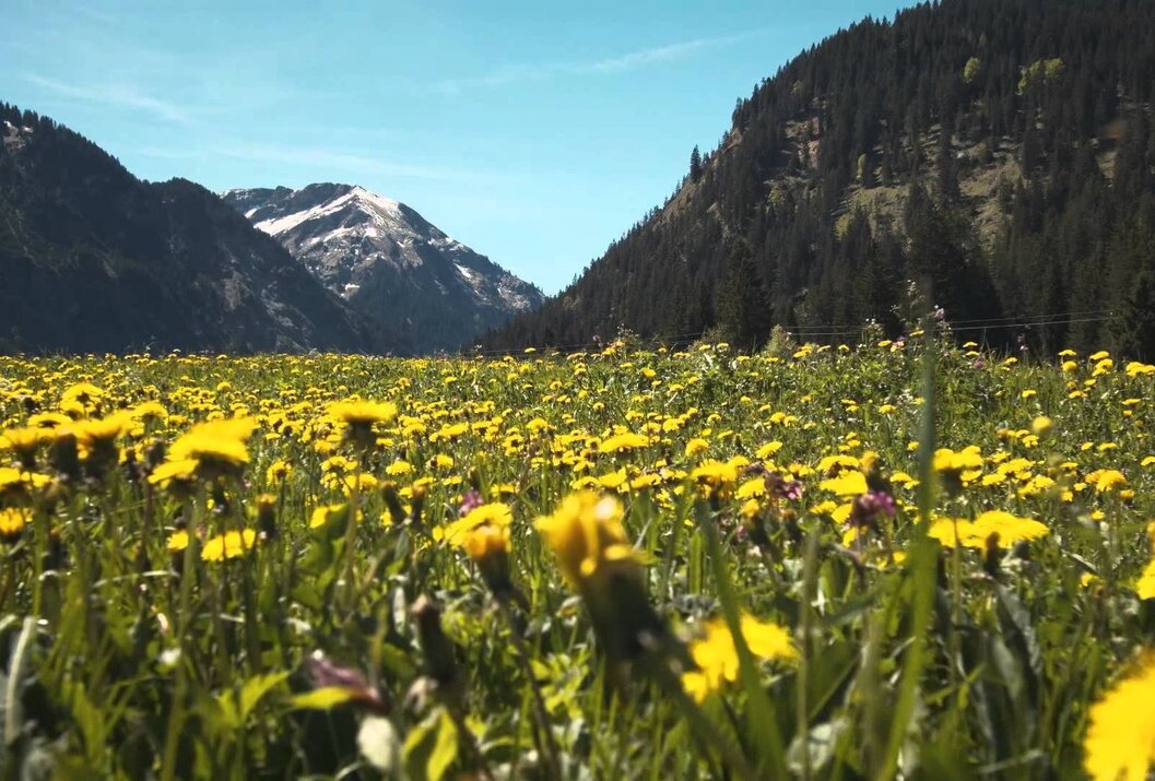
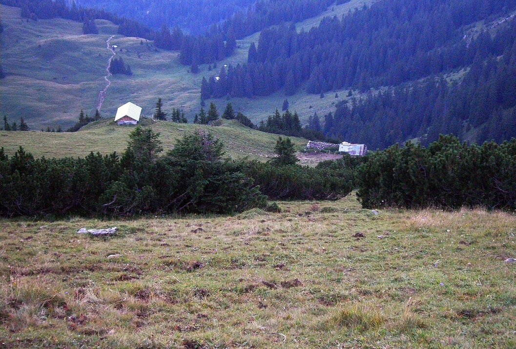
The Willersalpe lies in the midst of sunny meadows where cows and young cattle graze.
Directions:
From the west car park in Tannheim, the route heads south-east, past the Sägerklause tennis court towards the grotto. Now follow the signs and continue in the direction of Roßalpe. From the lower Roßalpe the path becomes a bit more demanding. Over the saddle between Schnurschrofen and Geißhorn, the area of the Feldalpe, we reach the Älpele, which invites you to take a break. A short stretch the same way back again, at the fork in the path we turn right and uphill towards Zirleseck. At the top, we can already see the Willersalpe. From the Willersalpe we follow the "Jubiläumsweg" to the Schafwanne. Below the Geißeck, steadily ascending, we reach the summit of the Geißhorn. The descent is northwards, towards Obere Roßalpe and further on to the Vilsalpsee. Those who no longer want to make the last stretch on foot to Tannheim can take the carriage, the bus or the Alpenexpress here.
Tip:
Very nice tour with many viewpoints.
Safety guidelines:
It should be noted that in mountaineering there is an increased risk of accidents and injuries. Despite careful route planning, a basic risk always remains. Tour preparation through endurance sports, appropriate technical training and further education as well as personal prudence reduces the danger of accidents and risks. However, please never forget that the weather in the mountains can change very quickly. Stay on the marked hiking trails.
Equipment:
The personal mountaineering equipment must be safe and serviceable and meet the relevant technical standards. Every hiker is recommended to obtain information about the planned tours from specialist alpine literature or on site.
Additional information:
Tourismusverband Tannheimer Tal
Starting point: West parking Tannheim - parking fee
Destination: Am Vilsalpsee
Getting there
On the motorway A7 at the exit "Oy-Mittelberg" on the B310 towards Wertach and to Oberjoch. There follow the signs "Tannheimer Tal" B199, exit Tannheim, Westparkplatz Tannheim.From the Tyrolean side via Reutte on the B198 towards Lechtal to Weißenbach, over the Gaichtpass along the B199 to the exit Tannheim, west car park Tannheim.
Public Transit
By train to Sonthofen, Pfronten/Ried or Reutte, then by bus to Tannheim.
Parking
West parking in Tannheim - parking fee
Günstigste Jahreszeit
Summer
Autumn
Willersalpe-Gaishorn
Informationsbüro Tannheim
Vilsalpseestraße 1
6675 Tannheim
